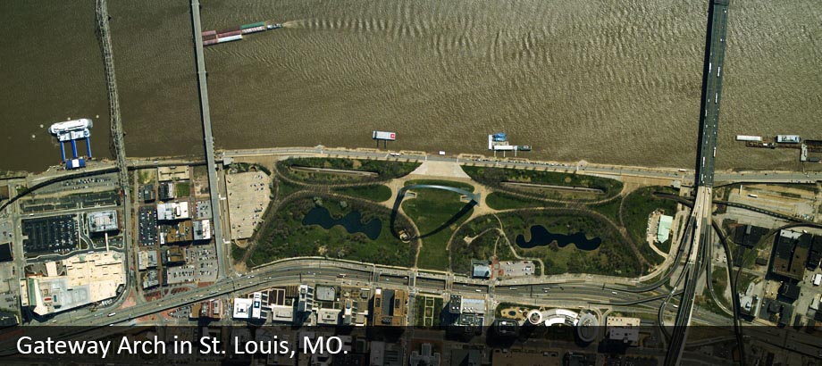
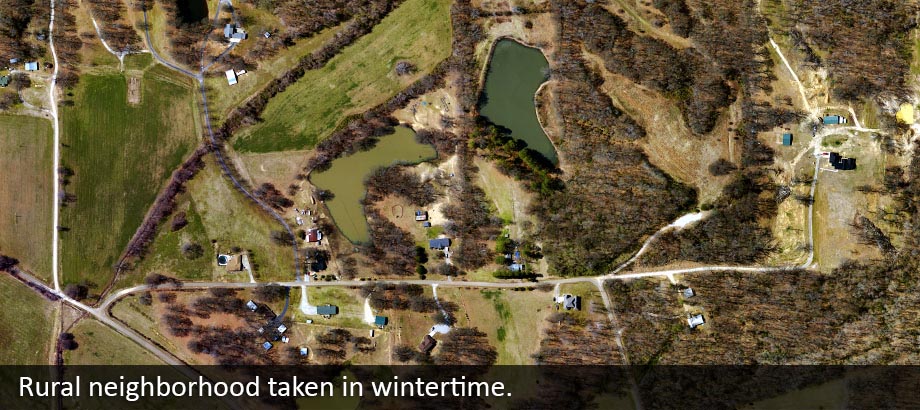
High Resolution Digital Aerial Imagery
PAS-880
The PAS-880 is a state-of-the-art digital aerial camera system designed for large-area mapping projects that demand exceptional accuracy and detail. With its wide coverage and advanced imaging capabilities, the PAS-880 is ideal for applications such as regional resource management, infrastructure monitoring, and government projects. Certified by the USGS, it delivers precise, cost-effective, and high-quality color and color-infrared imagery at scale.
PAS-150
The PAS-150 offers a versatile and efficient solution for projects that require both flexibility and high-resolution results. Compact yet powerful, the PAS-150 is particularly well-suited for corridor mapping, forestry, pipeline and power line right-of-way surveys, and other focused applications. Like the PAS-880, it is USGS-certified and provides reliable, orthorectified imagery that meets the rigorous standards of today’s aerial survey and remote sensing needs.
Our Commitment
Whether your project requires broad-area coverage or targeted precision, our advanced PAS systems ensure you receive accurate, high-quality aerial imagery that consistently meets — and exceeds — your expectations.